ContextGen



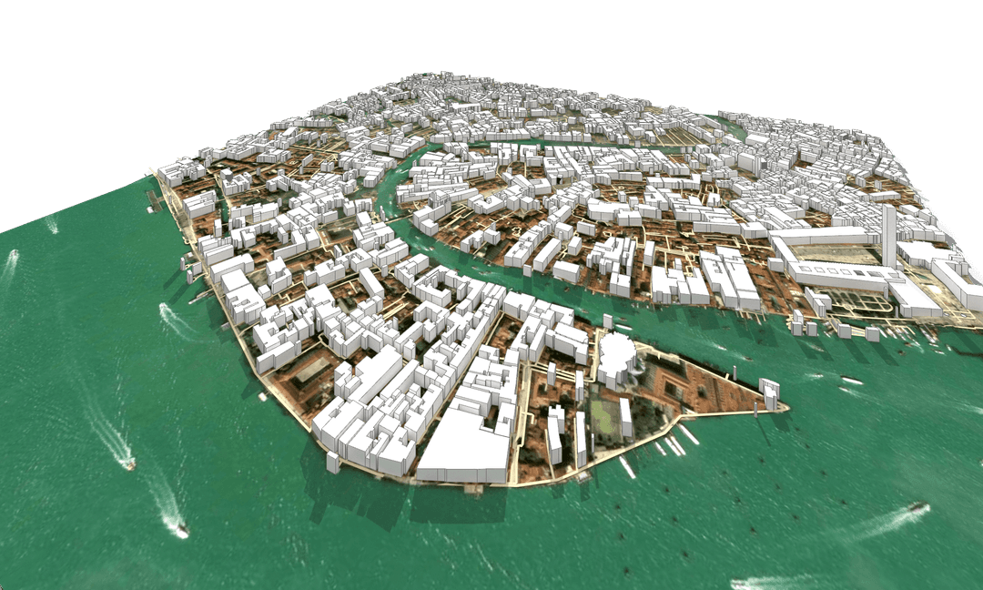
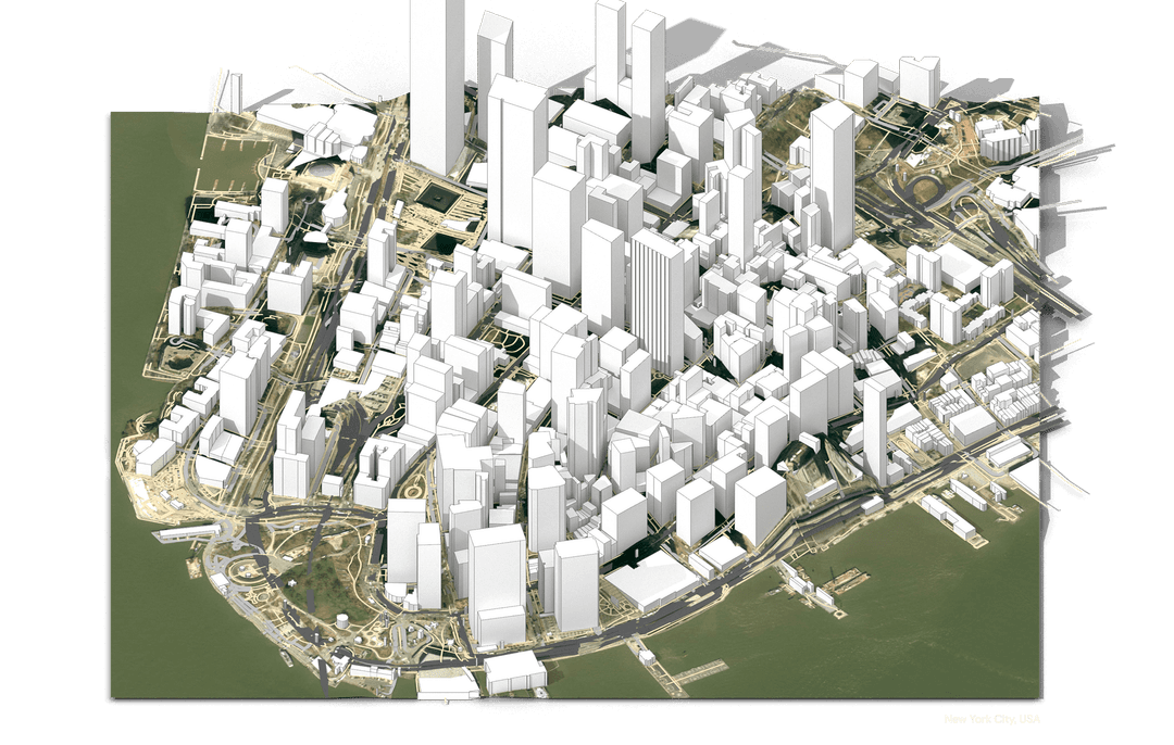
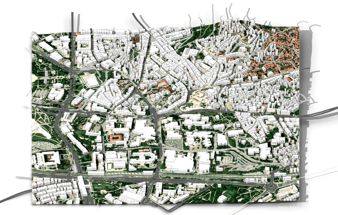
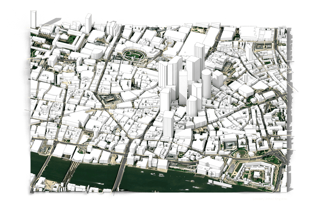
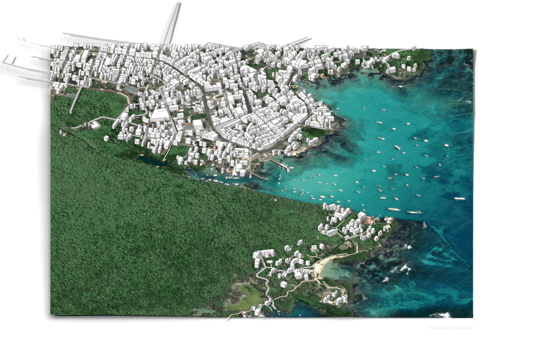
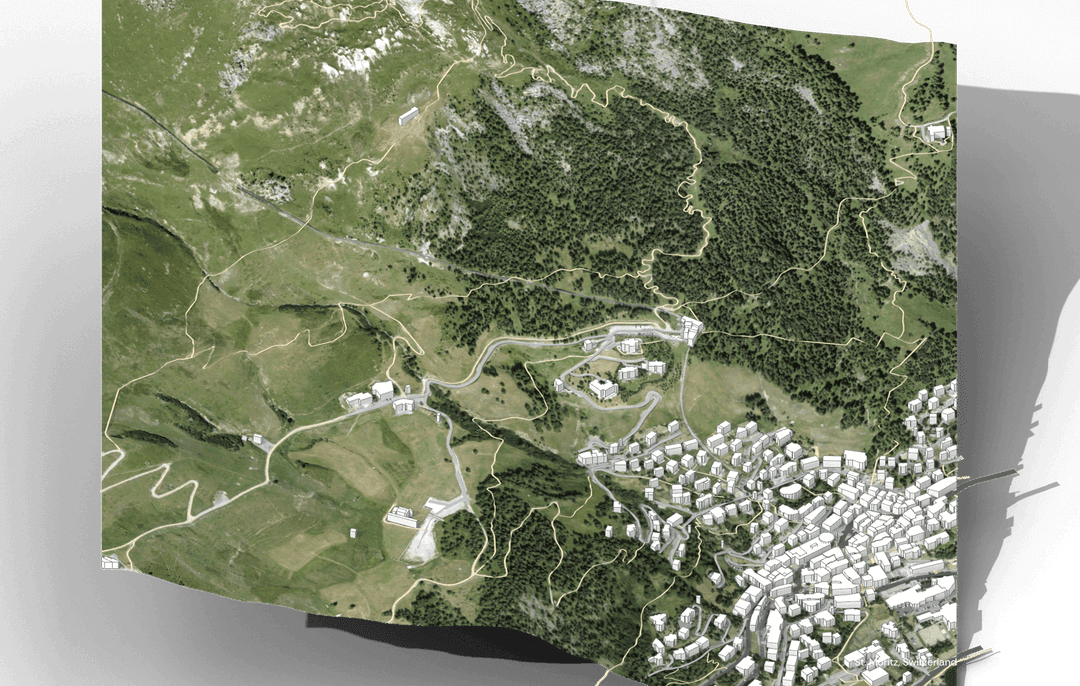
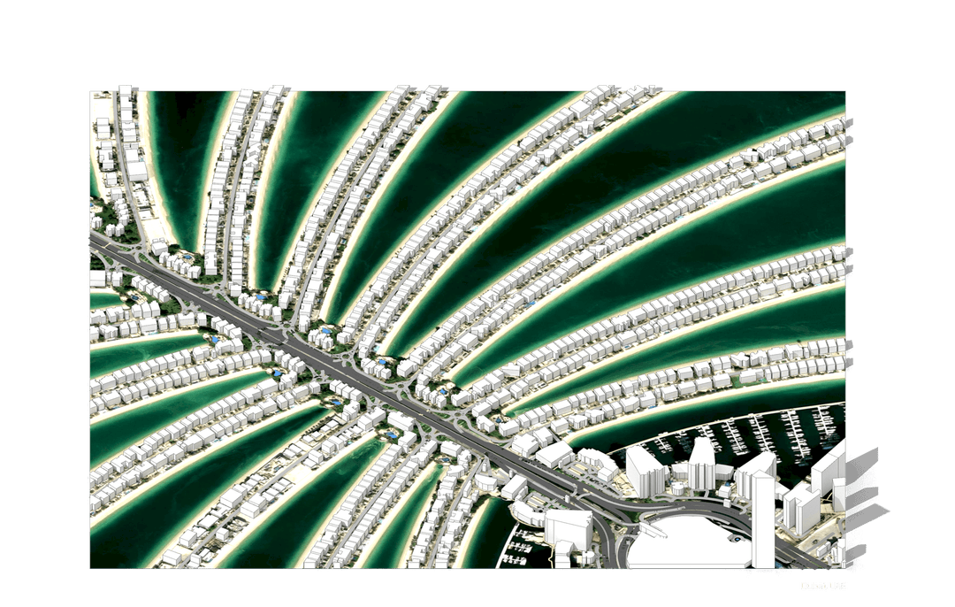
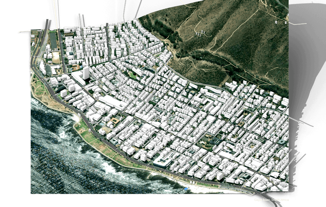
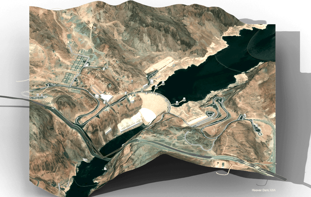
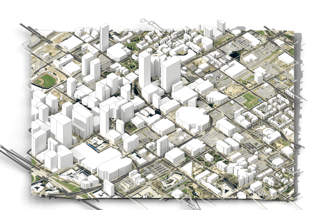
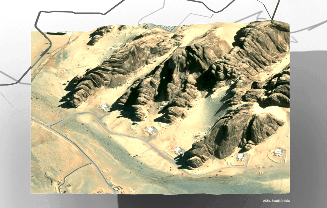
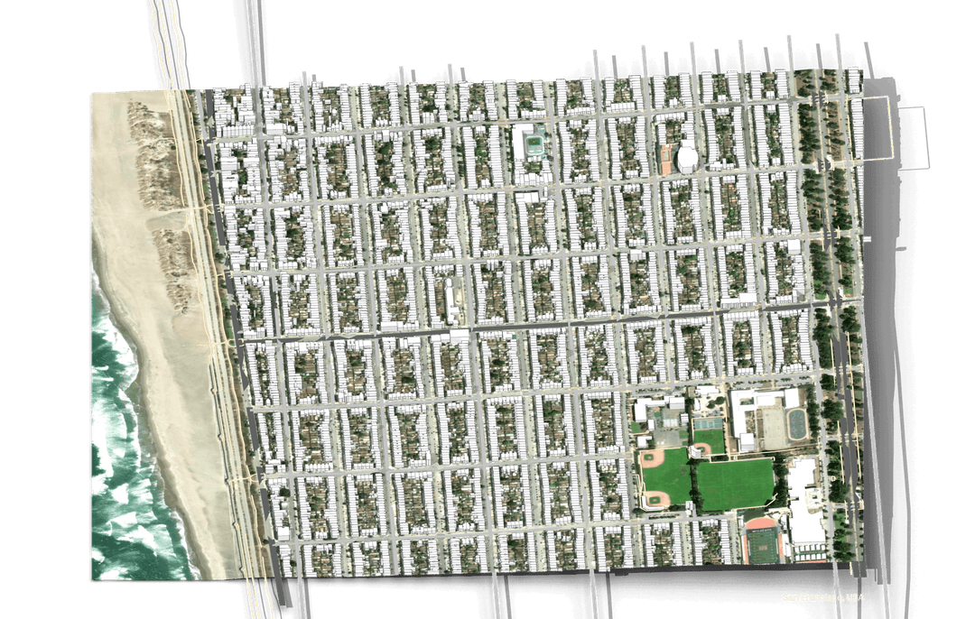
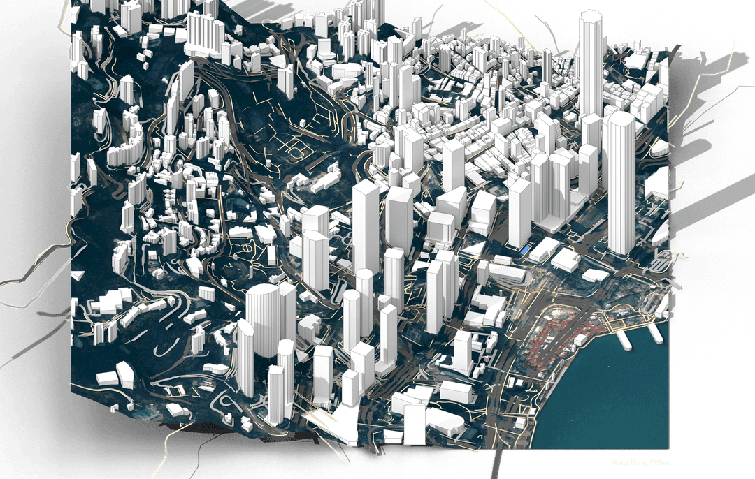
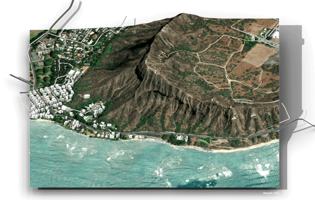
ContextGen is a tool that builds unlimited 3D site models of anywhere in the world directly into Rhino/Grasshopper. It's simple—just plug in your site's coordinates, preview the model in Grasshopper, and then bake it with an organized layer structure into Rhino! No manual tracing Google Maps, no one square kilometer restrictions, no expensive API keys, no web downloads. The result is a textured terrain mesh, extruded buildings, roads, and paths. The quality of each result varies by region due to regional databases. Check specific regions here: https://docs.google.com/spreadsheets/d/1loHwHVnXEv7LvgCxIyFyCli3iex_GwZCwA4jeo0-eRA/edit?usp=sharing
- GIS Coordinates
- Bounding area (m²)
- Terrain (Mesh)
- Buildings (Polysurfaces)
- Roads/paths (Mesh)
- Boundaries (Curves)
- Terrain resolution
- Road/path width
- Building height
More details

Software: Rhino 8, Grasshopper, Python
Plugins/Languages: Human
Fundamental
Author:
Delivery and refund policy
After payment, a link to access the product will be sent to your email. All products include instructions and relevant documentation.
If the product does not meet your satisfaction, refunds are available for 30 days.
Some products may require additional plugins or dependencies in order to function properly. There will be instructions on how to get any additional plugins or dependencies. All plugins and dependencies used in our products are free open source.
Get 30% off! Use code CONTEXTGEN30 $30
Tax is calculated at checkout based on your location.
Refunds are available for 30 days.
Not exactly what you need? Build a custom tool here.